Turkish Riviera Photo Scenery
Description
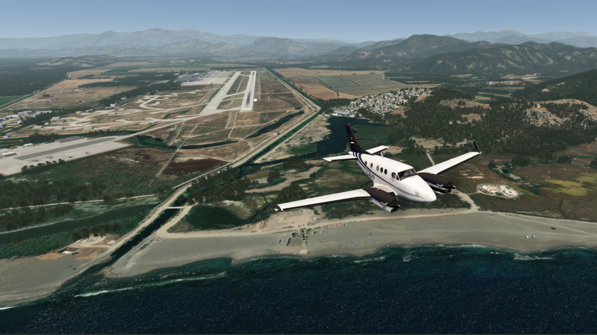
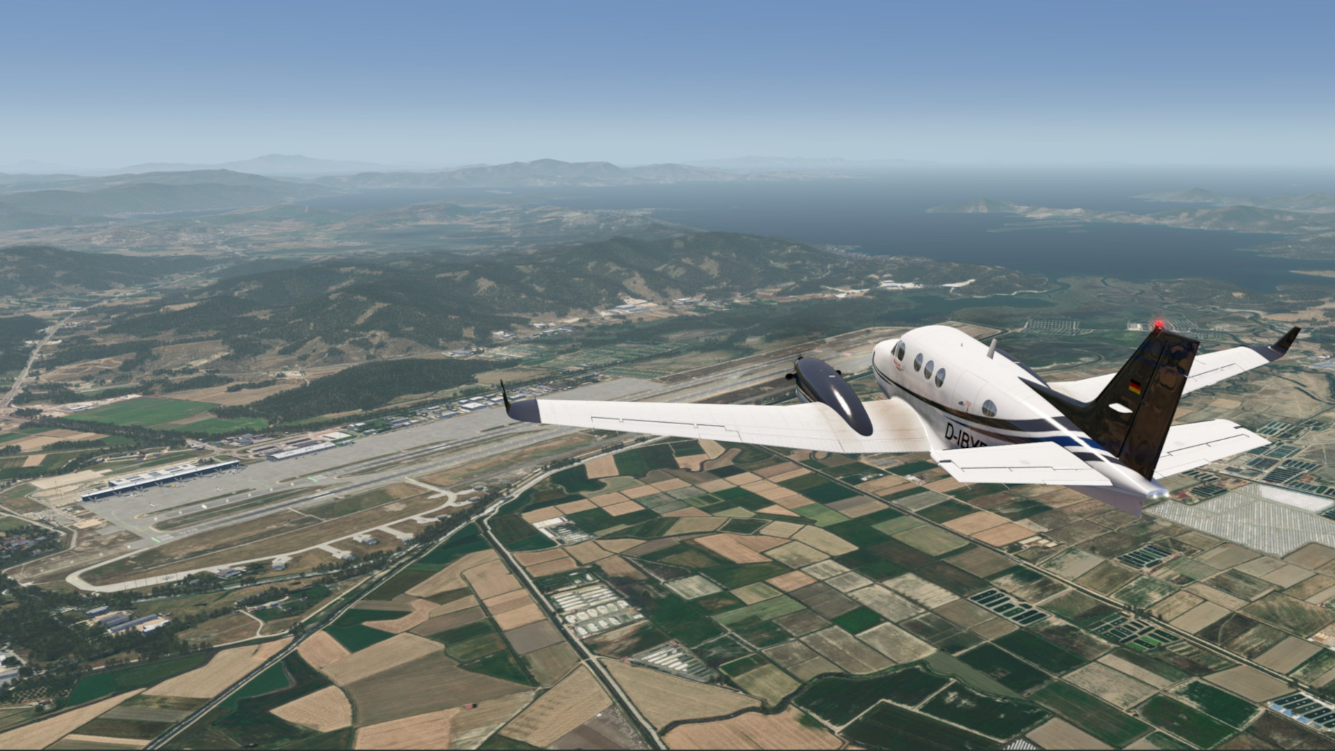
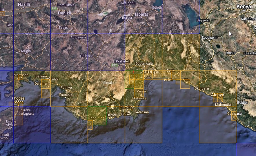
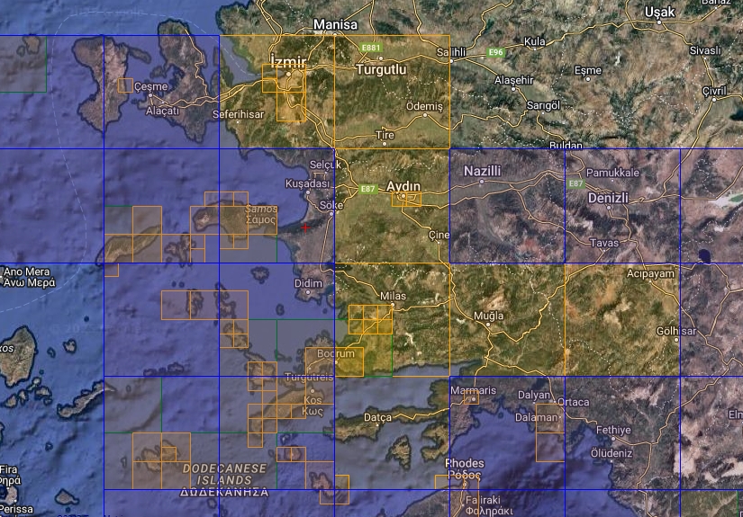
This scenery covers the city of Antalya , Izmir and Bodrum as well as the coastal area with its sandy beaches from the eastern part of the Turkish Riviera, from Dalaman in the west to Mugla in the southern west and to Izmir in the north.
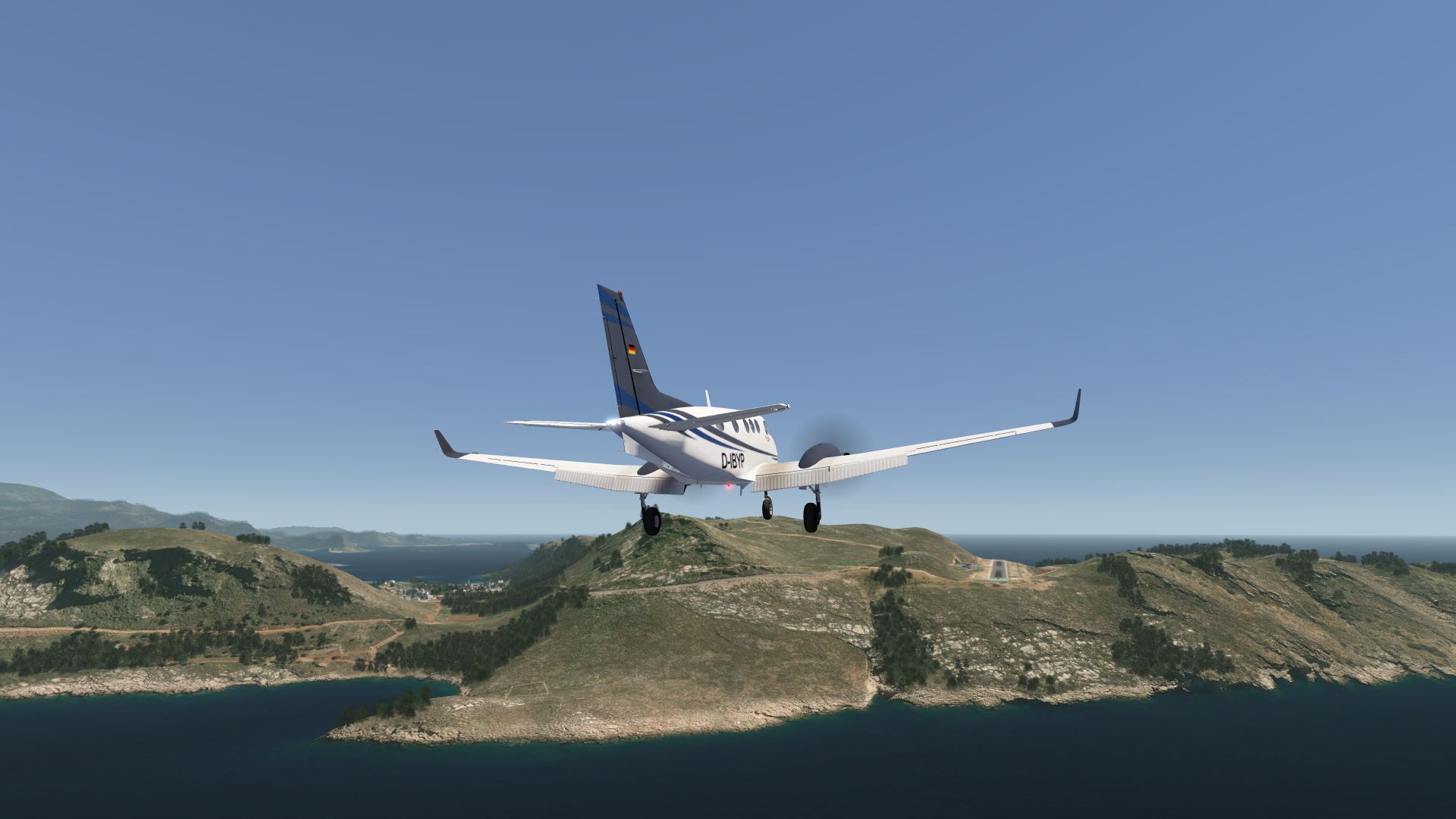
The airport of LGKJ Kastellorizo, small greec island, is also included in addition to IPAC’s three airports.
Elevation data are also included for improvement of coastal sections and in particular as fix for the airport of Kastellorizo island (GR).
Included Regions
Part 1
- Antalya
Part 2
- Izmir
- Bodrum
FS4 Desktop
FSG Mobile
Photo Scenery
Airports
Elevation
v1.0
Preview Images


Coverage
FS4 Desktop Downloads (zip)
FSG Mobile Downloads (tme)
References
- ArcGIS Maps ©
- OpenTopography - Copernicus Global 30m data ©
- SketchUp 3D Warehouse (3dwarehouse.sketchup.com)
Credits
- nickhod for AeroScenery (creating photo-sceneries)
- Arno Gerretsen for ModelConverterX (converting-tool)
- to all the authors of the models used