Istanbul Town With Extended Area
Description
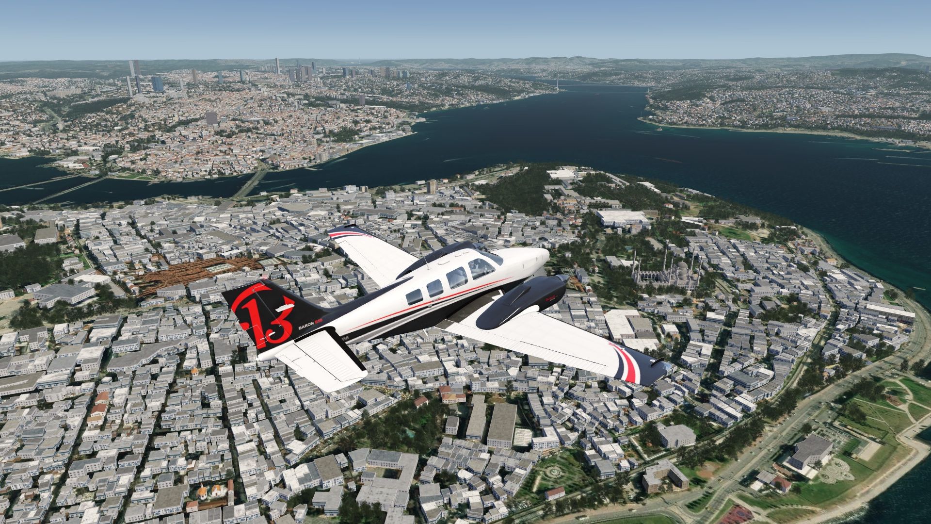
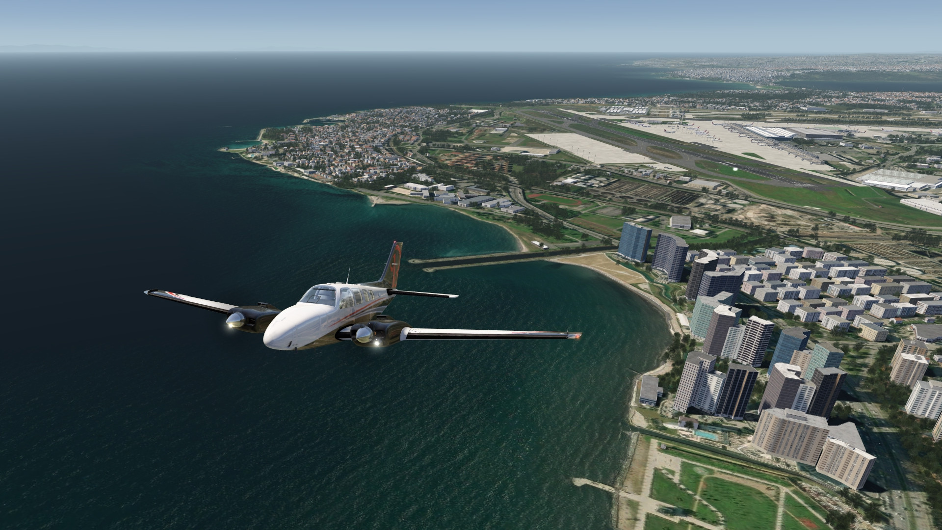
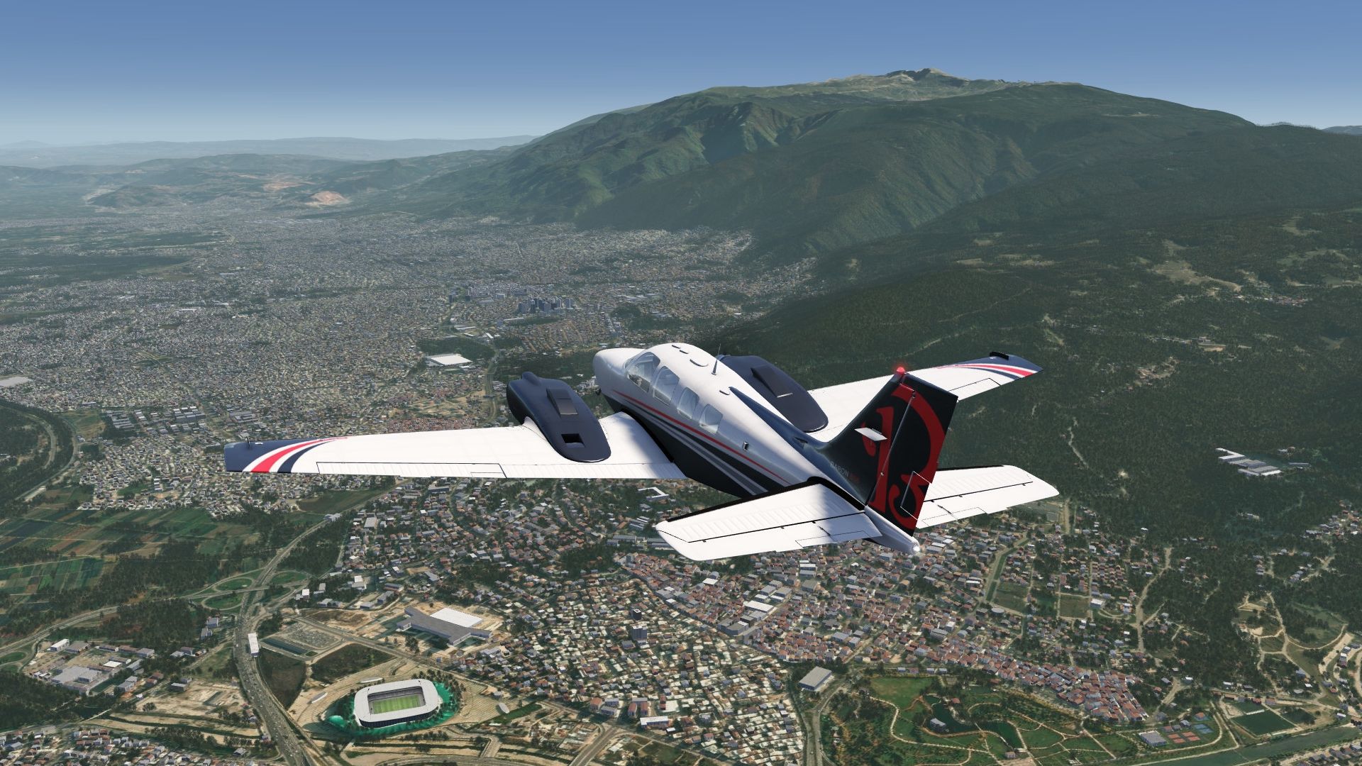
This scenery includes the city of Istanbul at the Bosporus and its wider surroundings.
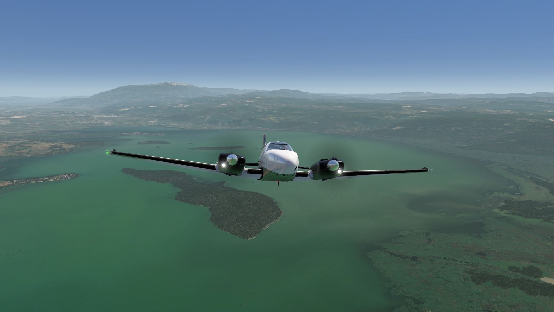
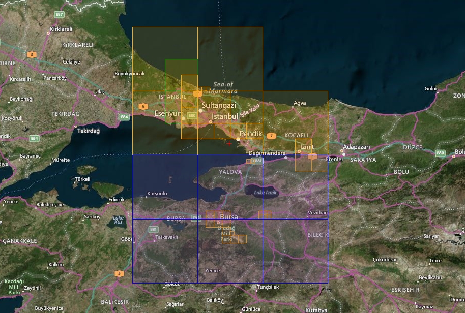
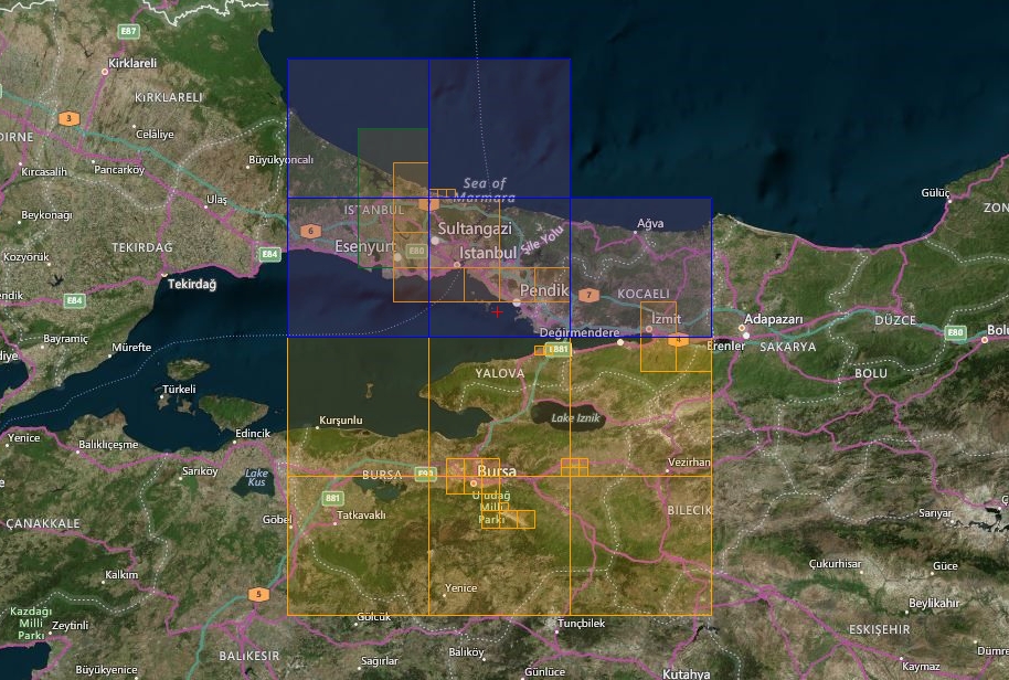
The coverage with a big part of the Marmara sea reaches eastward to Izmit and southward to Bursa, including Mount Uludag going up to 2’500 m.
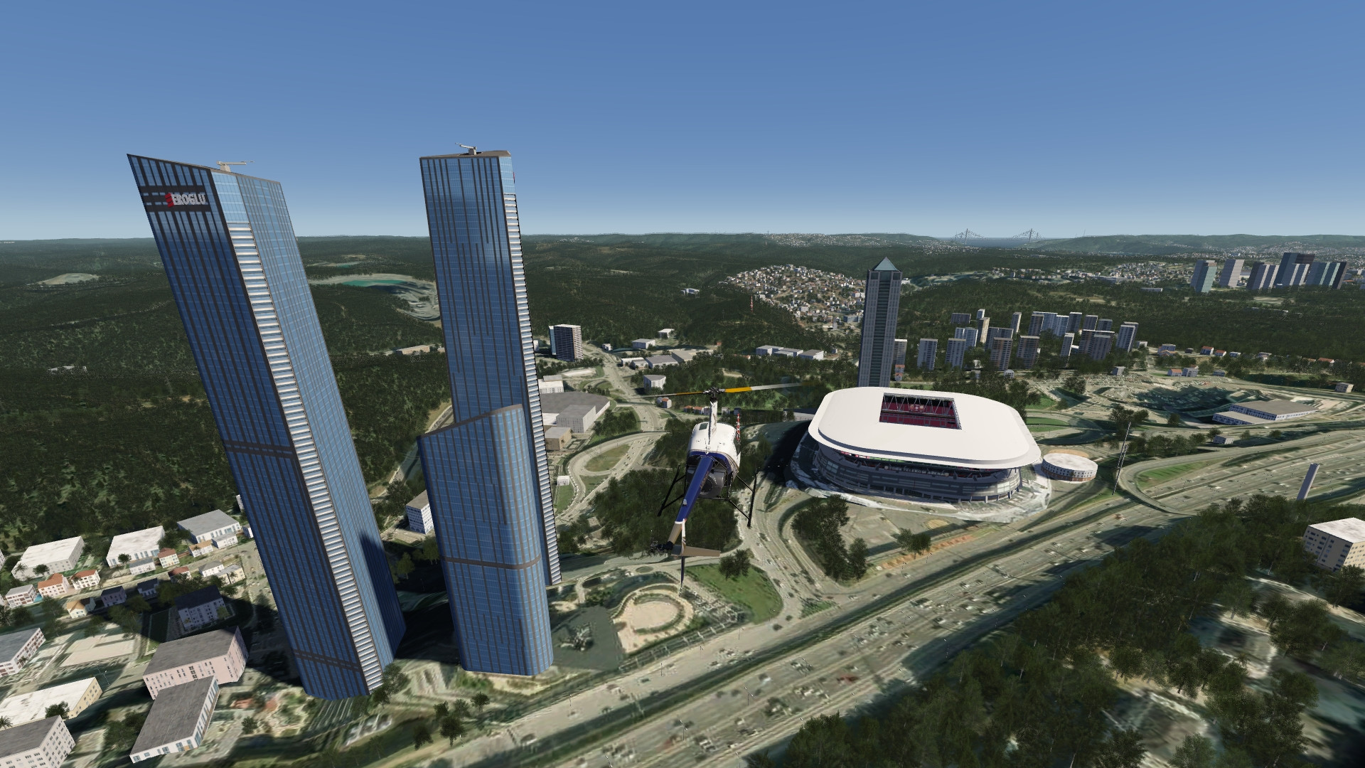
Aeroprakt Uluslararasi flight education airfield at Bursa is added to IPACS’s airports. It also has some POIs in Istanbul (mainly bridges and stadiums).
Elevation data are also included for improvement and in particular as fix for the airport LTFM.
Included Regions
Part 1
- Istanbul
- Pendik
- Izmit
Part 2
- Bursa
FS4 Desktop
FSG Mobile
Photo Scenery
Airports
POI's
Elevation
v1.1
Preview Images
Coverage
FS4 Desktop Downloads (zip)
FSG Mobile Downloads (tme)
References
- ArcGIS Maps ©
- OpenTopography - Copernicus Global 30m data ©
- SketchUp 3D Warehouse (3dwarehouse.sketchup.com)
Credits
- nickhod for AeroScenery (creating photo-sceneries)
- Arno Gerretsen for ModelConverterX (converting-tool)
- to all the authors of the models used