La Reunion Photo Scenery
Description
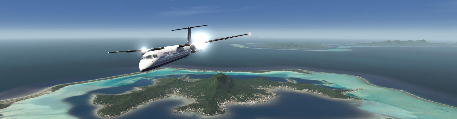
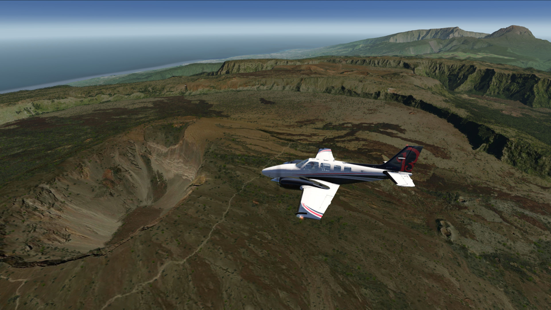
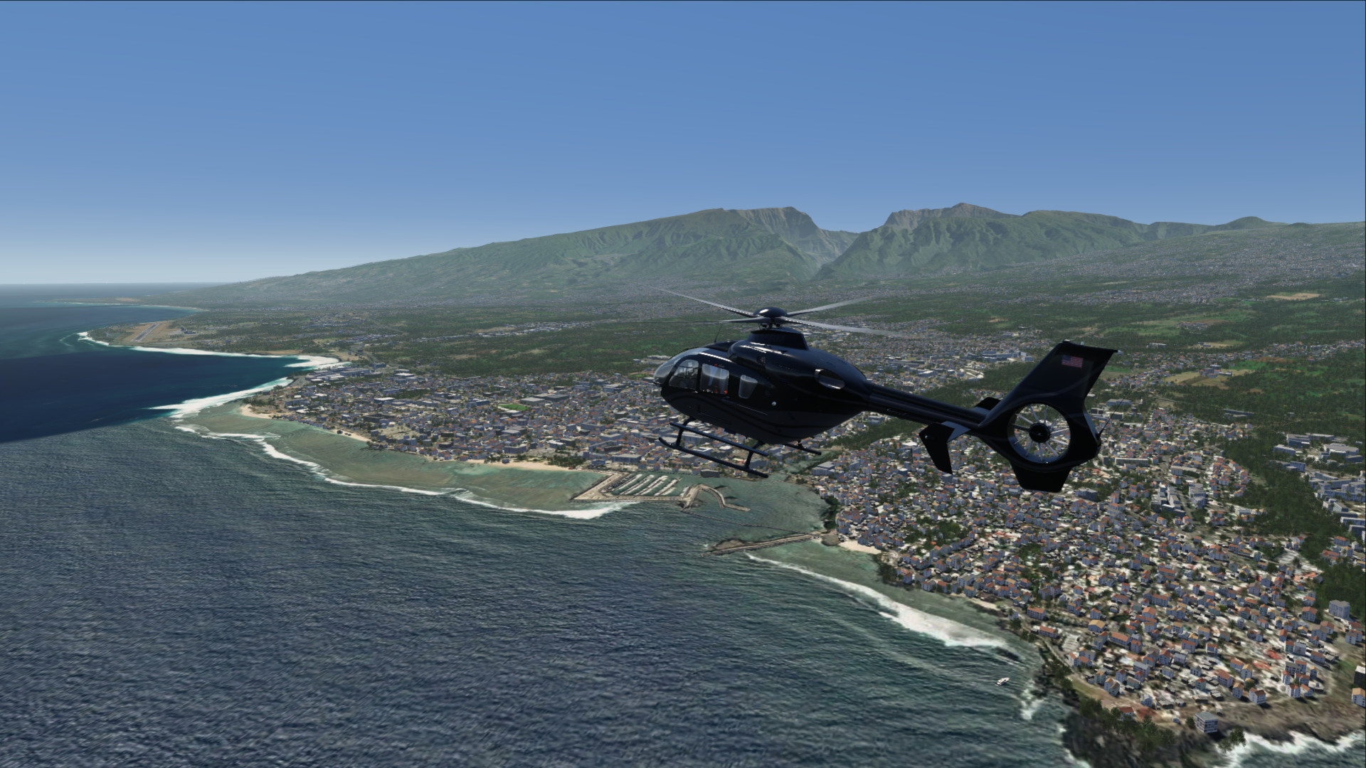
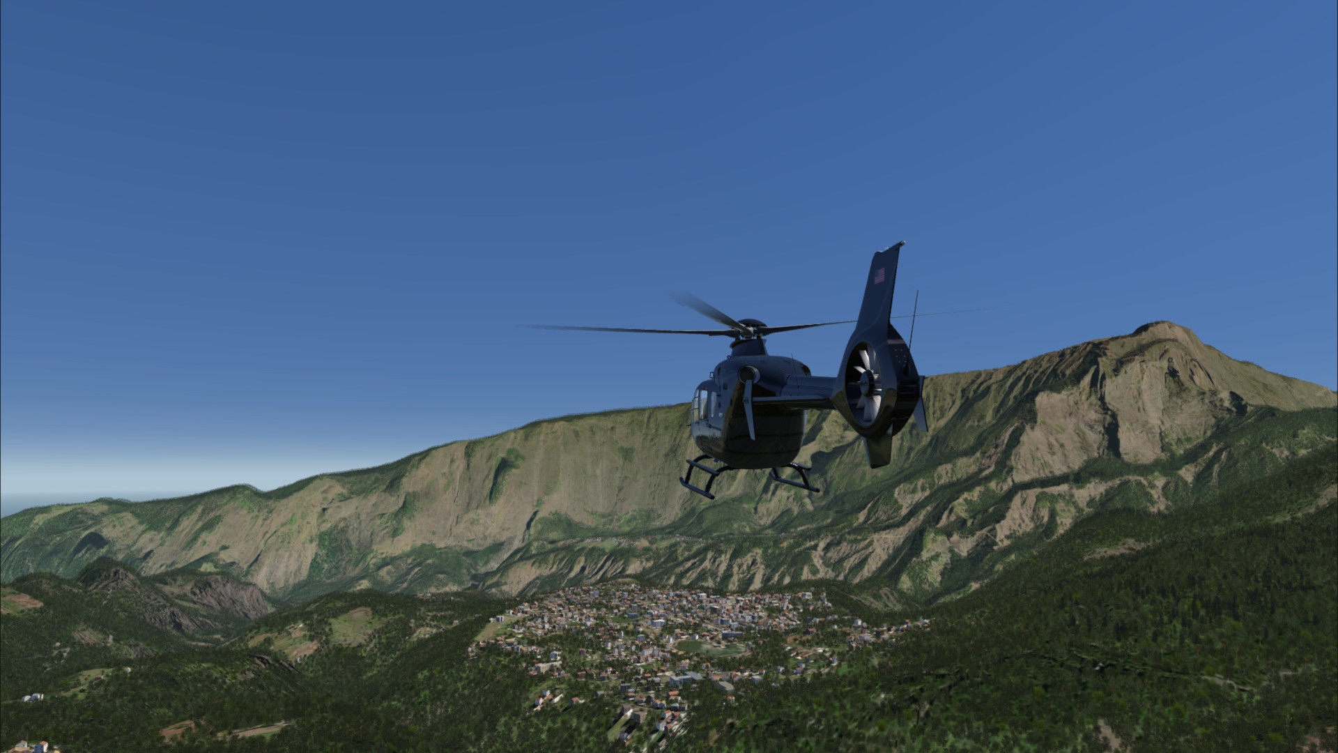
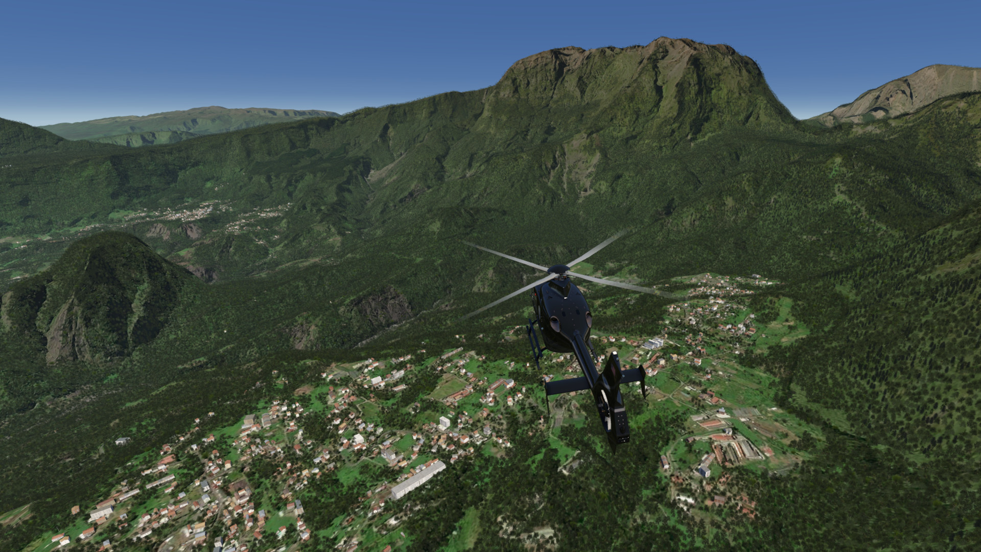
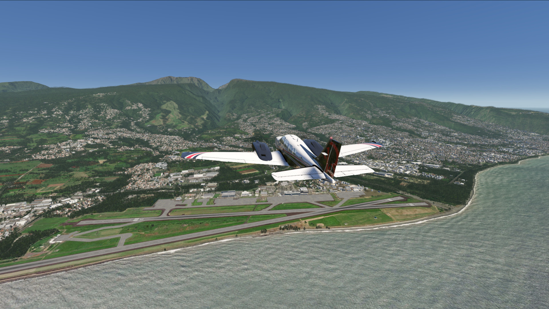
HD Photo scenery covering beautiful La Reunion island. There is also an enhanced elevation mesh covering the whole island.
FS4 Desktop
FSG Mobile
Photo Scenery
Elevation
v1.0
Preview Images
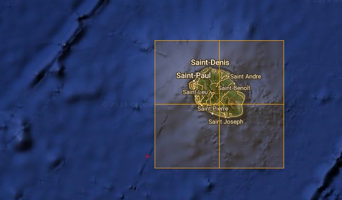
Coverage
FS4 Desktop Downloads (zip)
FSG Mobile Downloads (tme)
References
- ArcGIS Maps ©
- OpenTopography - Copernicus Global 30m data ©
Credits
- nickhod for AeroScenery (creating photo-sceneries)