French Polynesia Scenery
Description
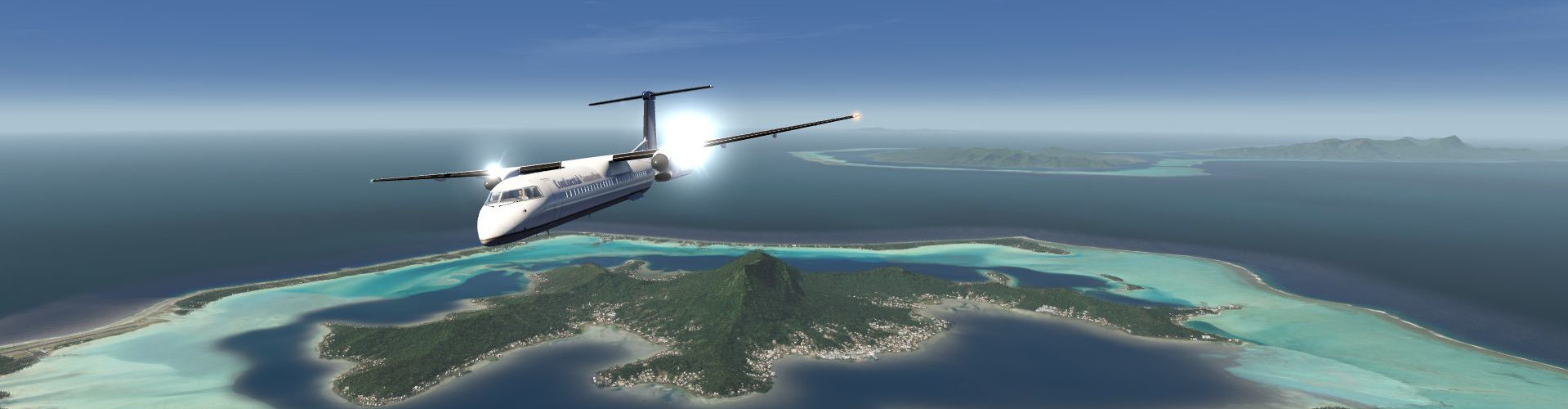
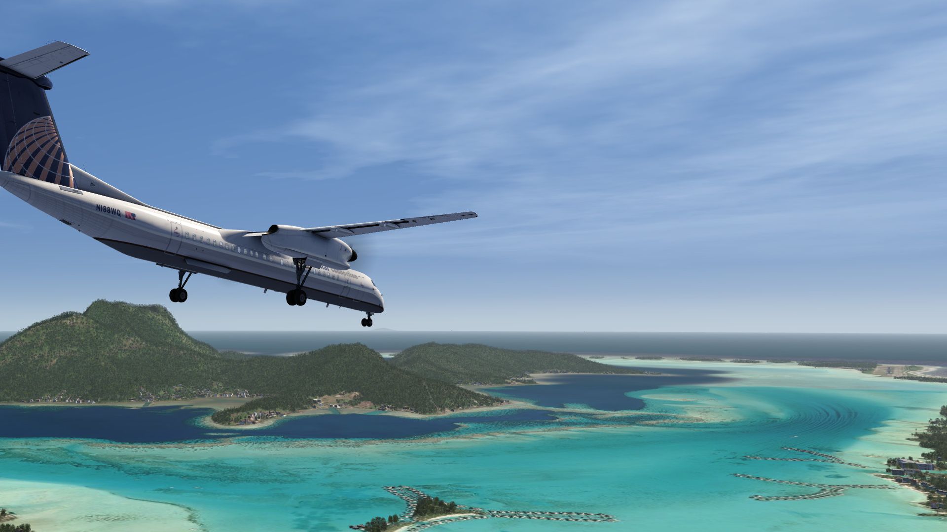
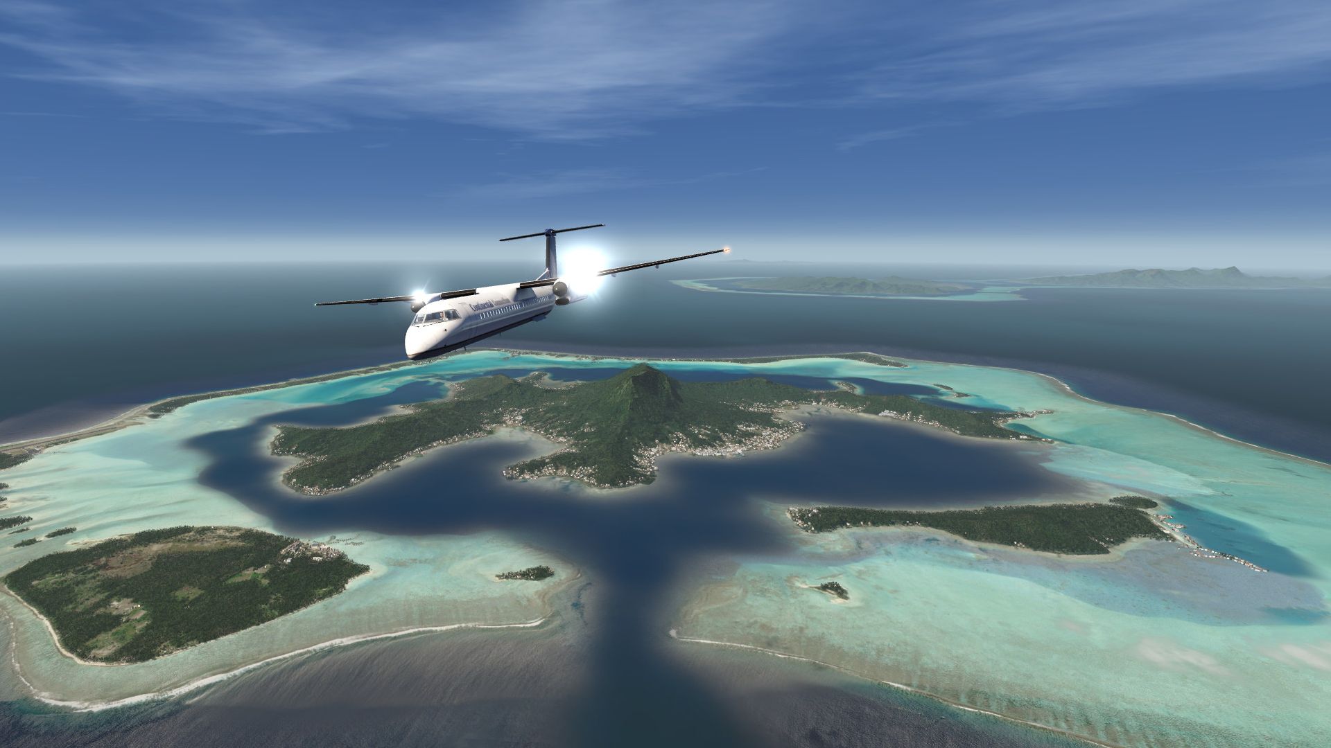
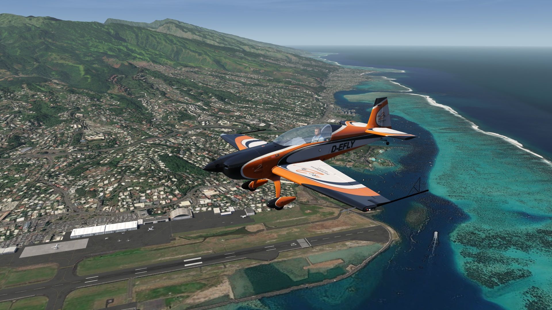
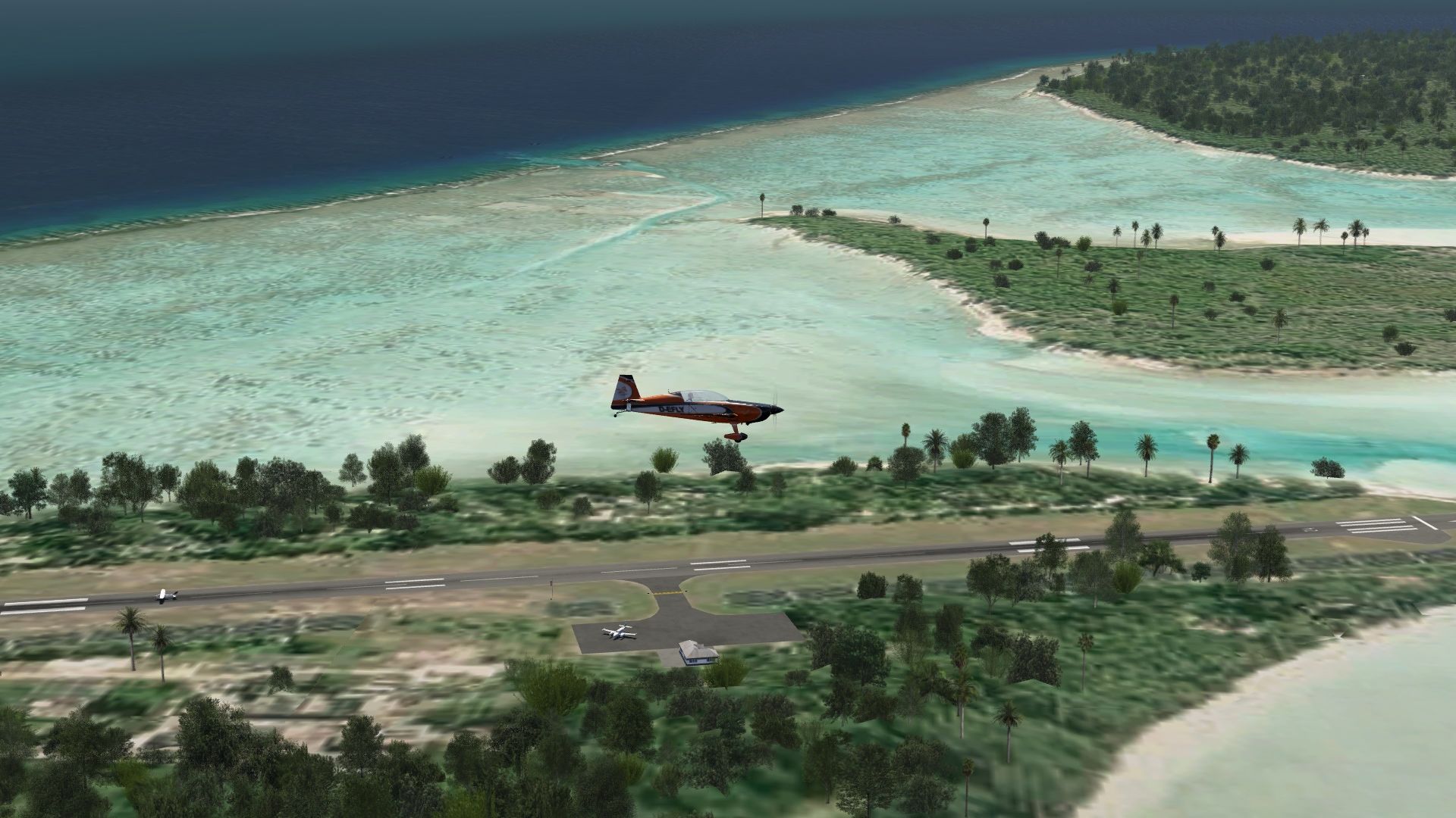
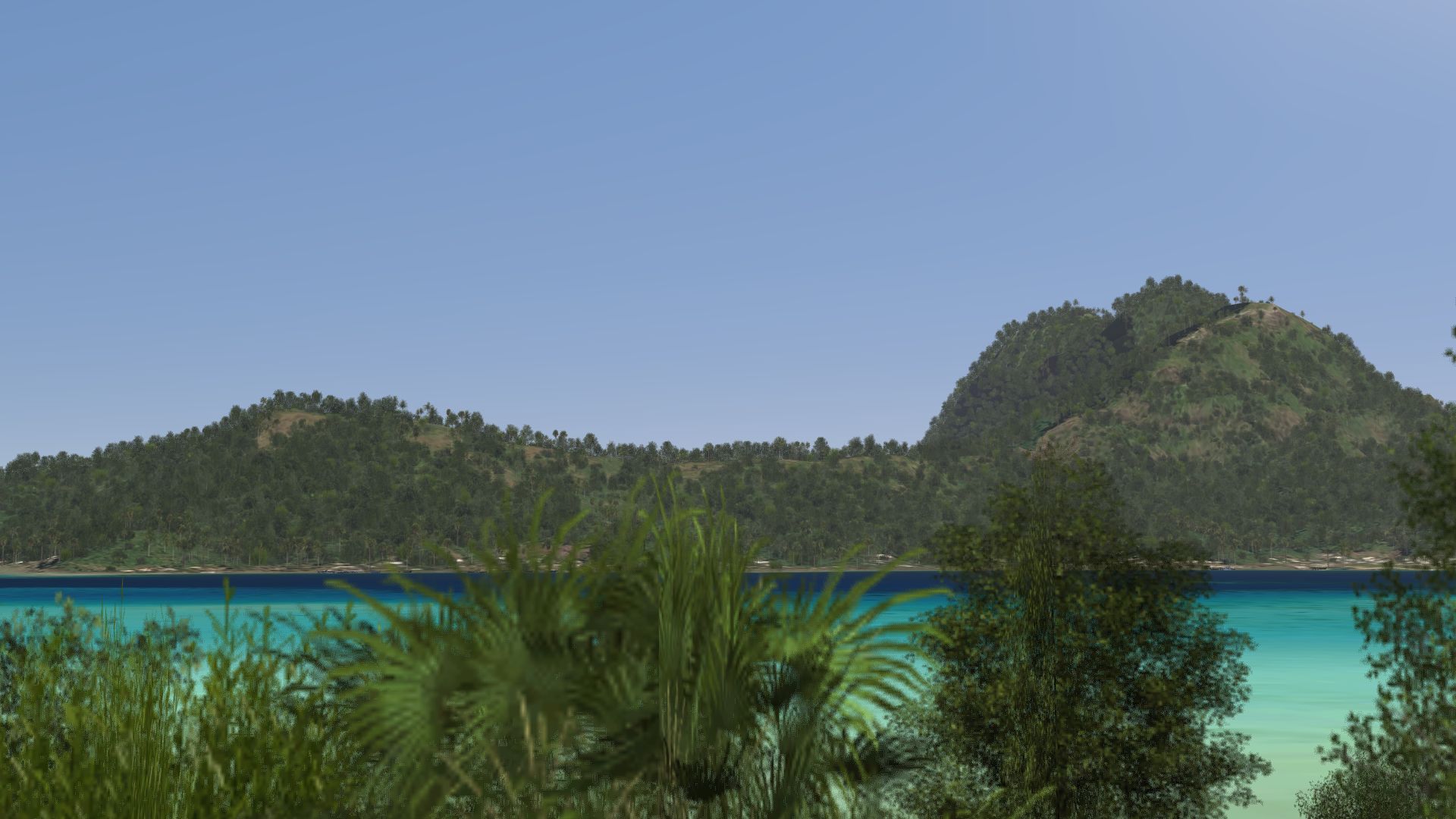
Photo scenery covering all islands of French Polynesia including the main island Tahiti and the famous Bora Bora Island.
There are 7 airports included (most with aprons, taxiways and objects) as well as elevation data.
FS4 Desktop
FSG Mobile
Photo Scenery
Airports
POI's
Elevation
v1.0
Preview Images
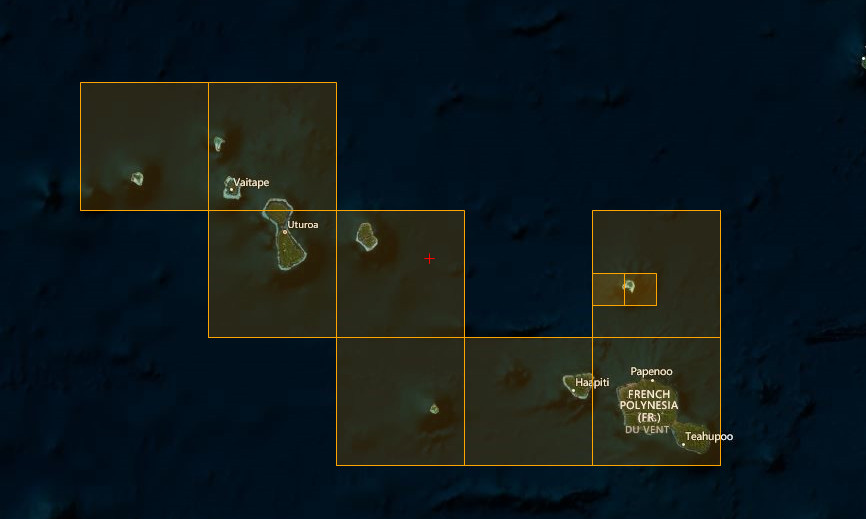
Coverage
FS4 Desktop Downloads (zip)
FSG Mobile Downloads (tme)
References
- ArcGIS Maps ©
- OpenTopography - Copernicus Global 30m data ©
- SketchUp 3D Warehouse (3dwarehouse.sketchup.com)
Credits
- nickhod for AeroScenery (creating photo-sceneries)
- Arno Gerretsen for ModelConverterX (converting-tool)
- to all the authors of the models used