Mt Everest Extended Area
Description
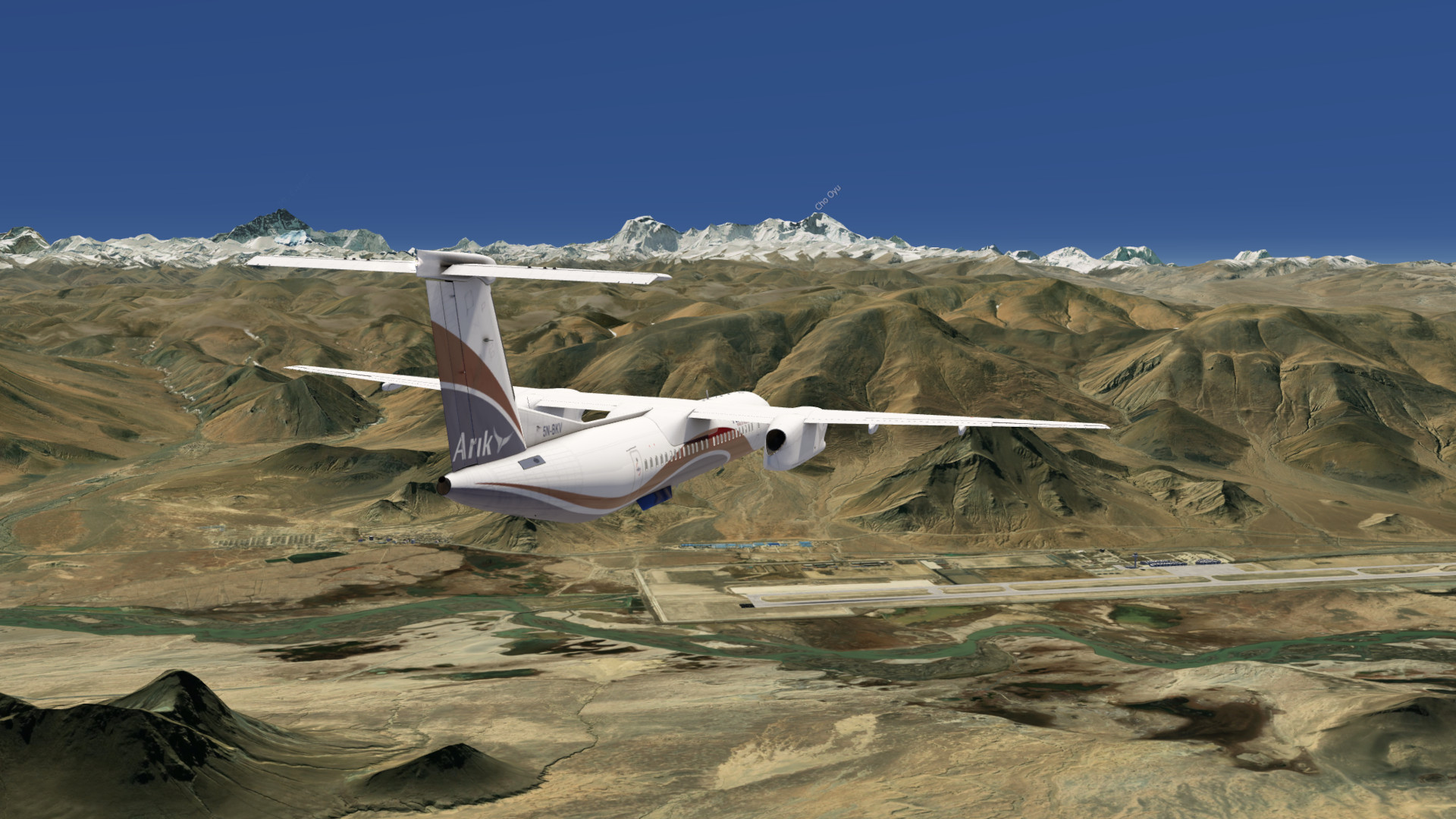
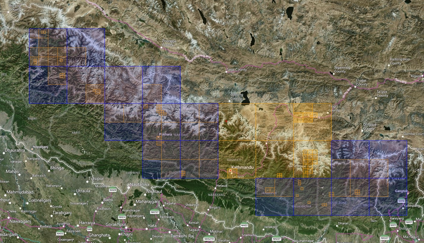
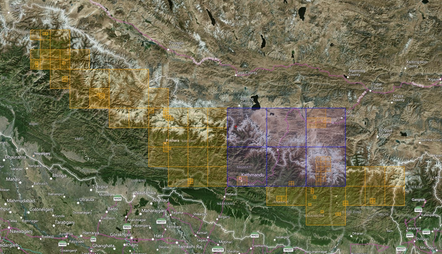
Enhanced HighRes photo scenery with enlarged coverage including the core area from Kathmandu to Lukla incl. Mt Everest as well as an extension covering the whole northern mountain part of Nepal.
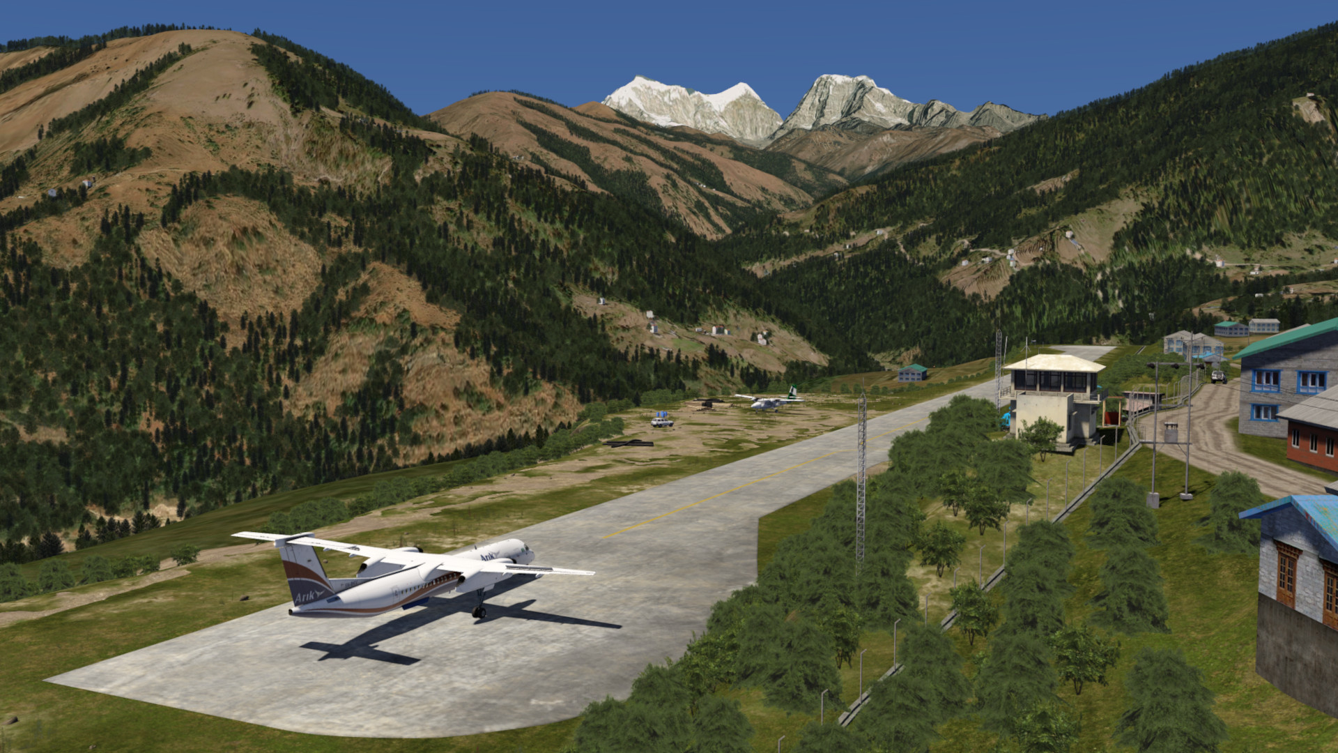
There are also 10 small mountain airports including elevation mesh improvements as well for some areas. A lot of mountain landing challenges are waiting for you!
Included Regions
Part 1
- Kathmandu
- Lukla
- Mt Everest
Part 2
- Phokhara
- Northern Nepal Extension
FS4 Desktop
FSG Mobile
Photo Scenery
Airports
Elevation
v1.1
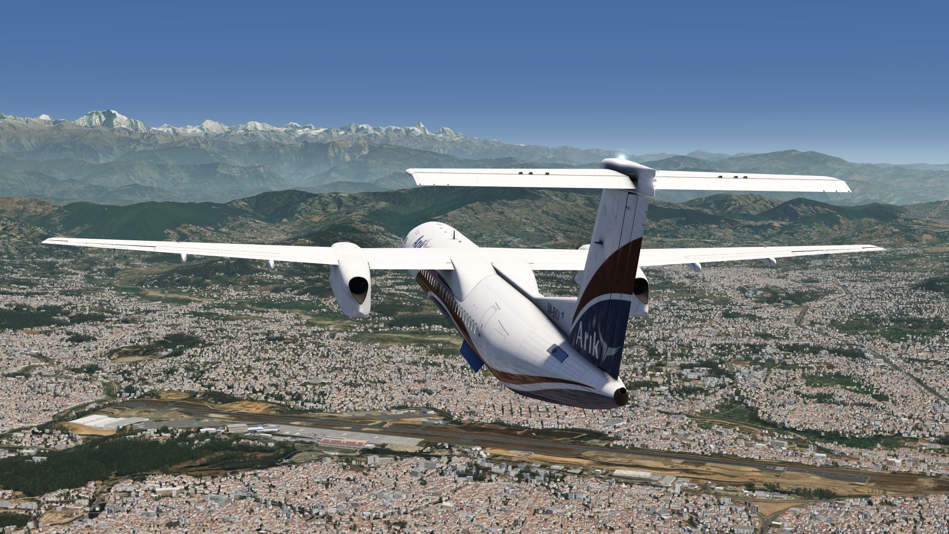
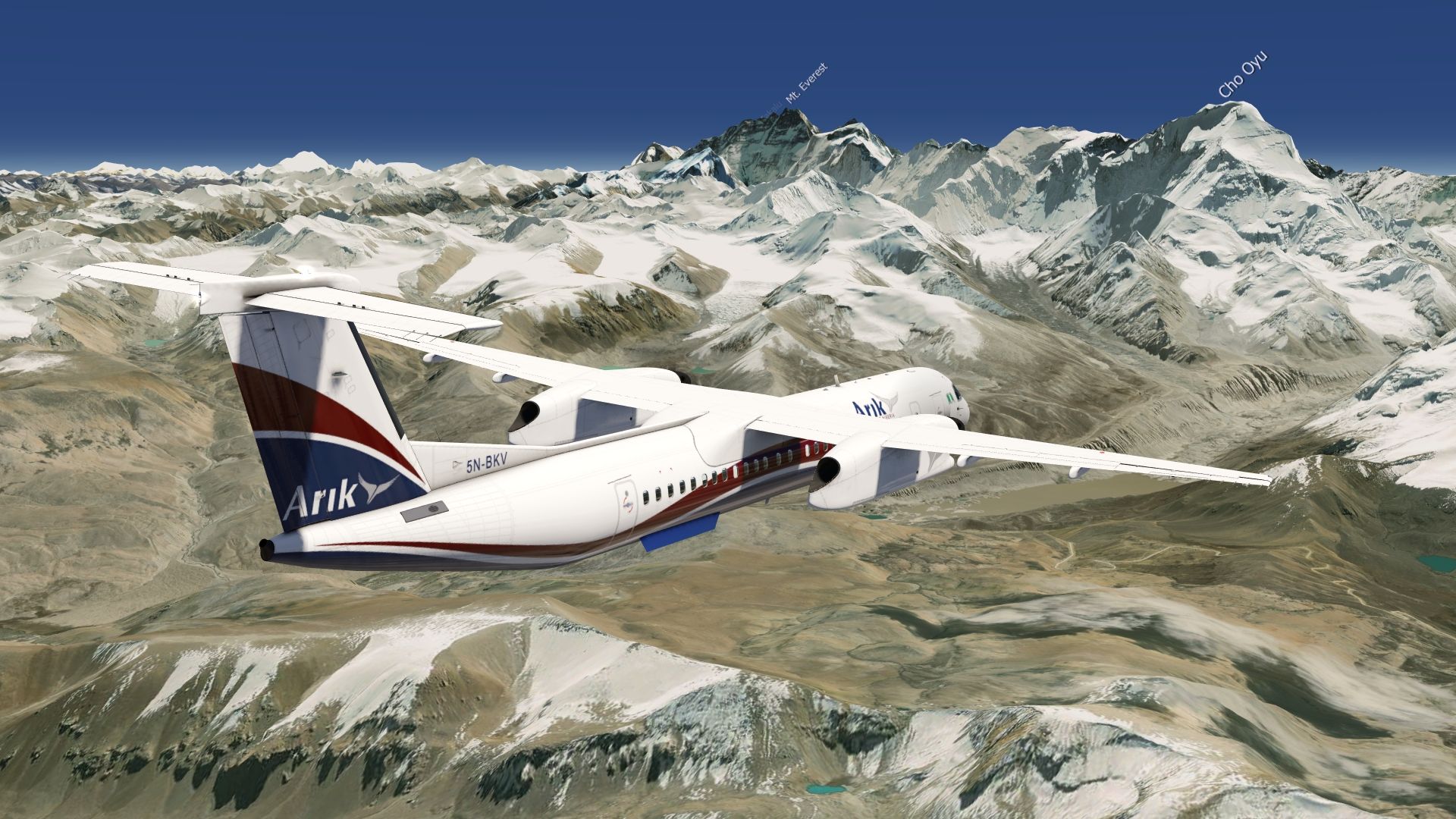
Preview Images
Coverage
FS4 Desktop Downloads (zip)
FSG Mobile Downloads (tme)
References
- ArcGIS Maps © / Bing Maps ©
- OpenTopography - Copernicus Global 30m data ©
Credits
- nickhod for AeroScenery (creating photo-sceneries)