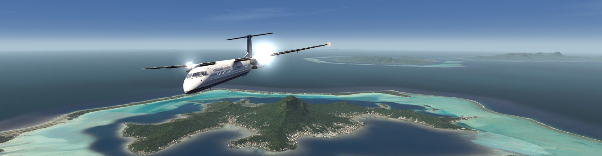
Tokyo Extended Area Scenery (Incl. Mt Fuji)
Description
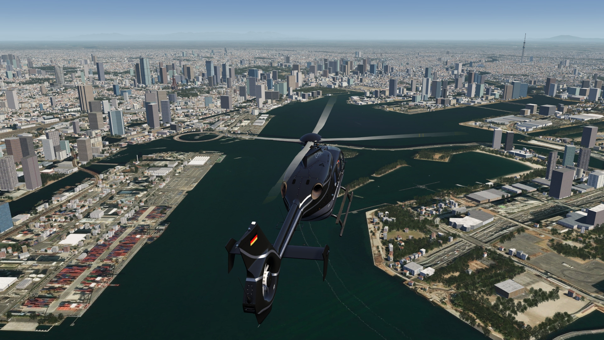
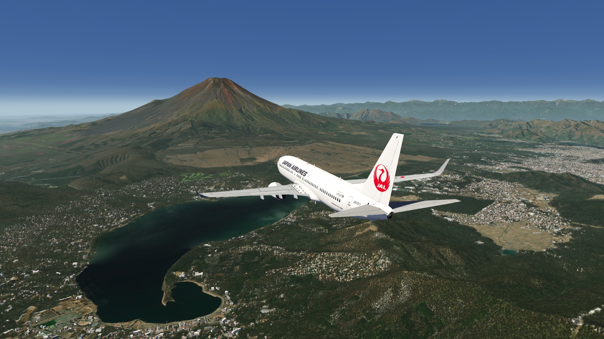
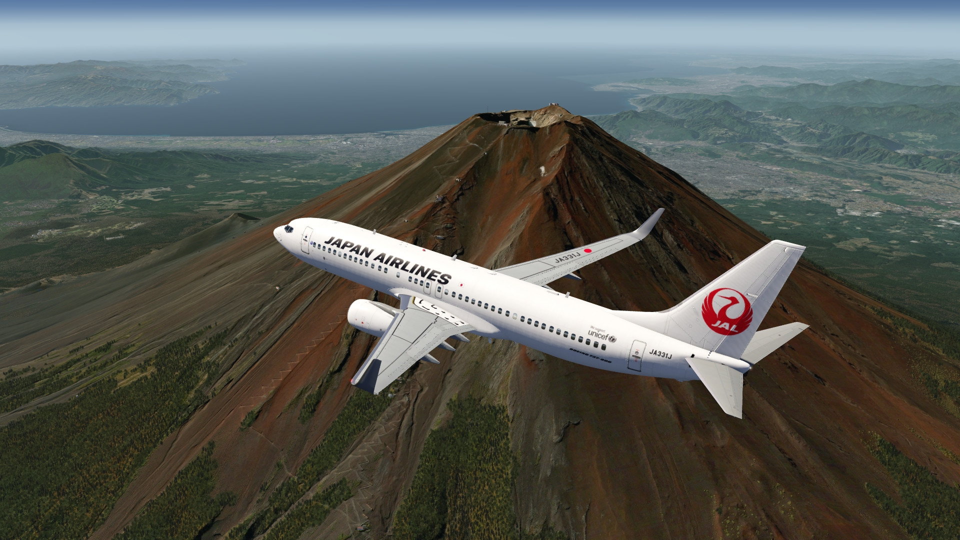
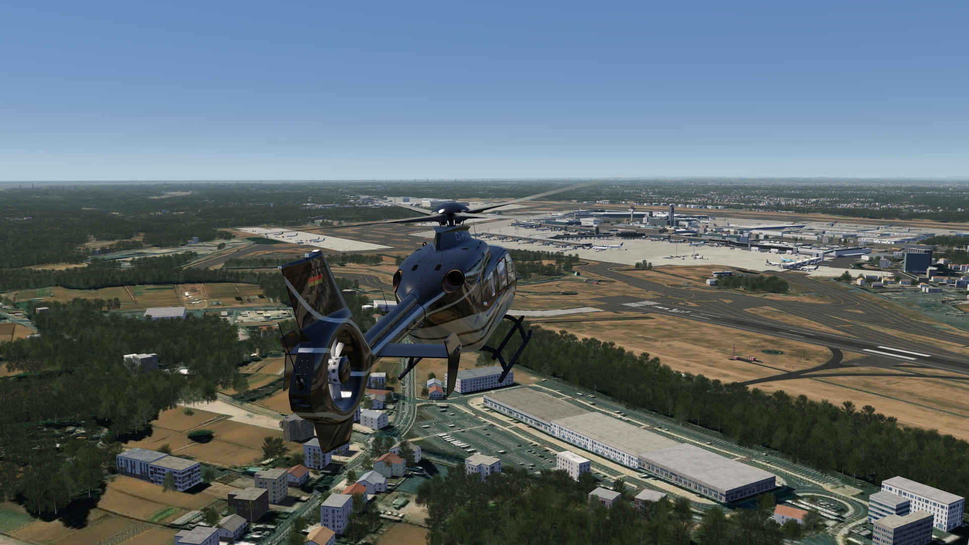
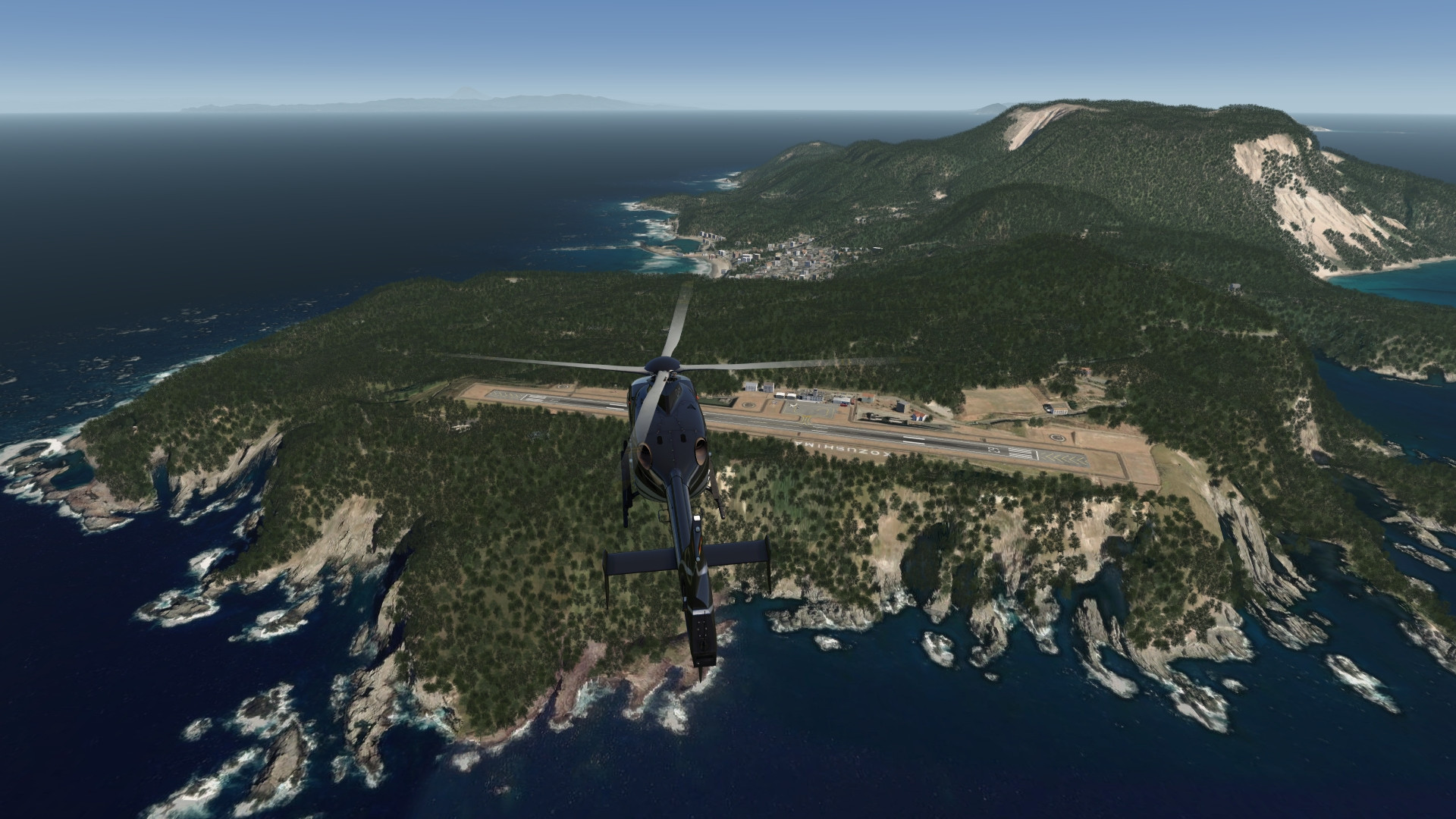
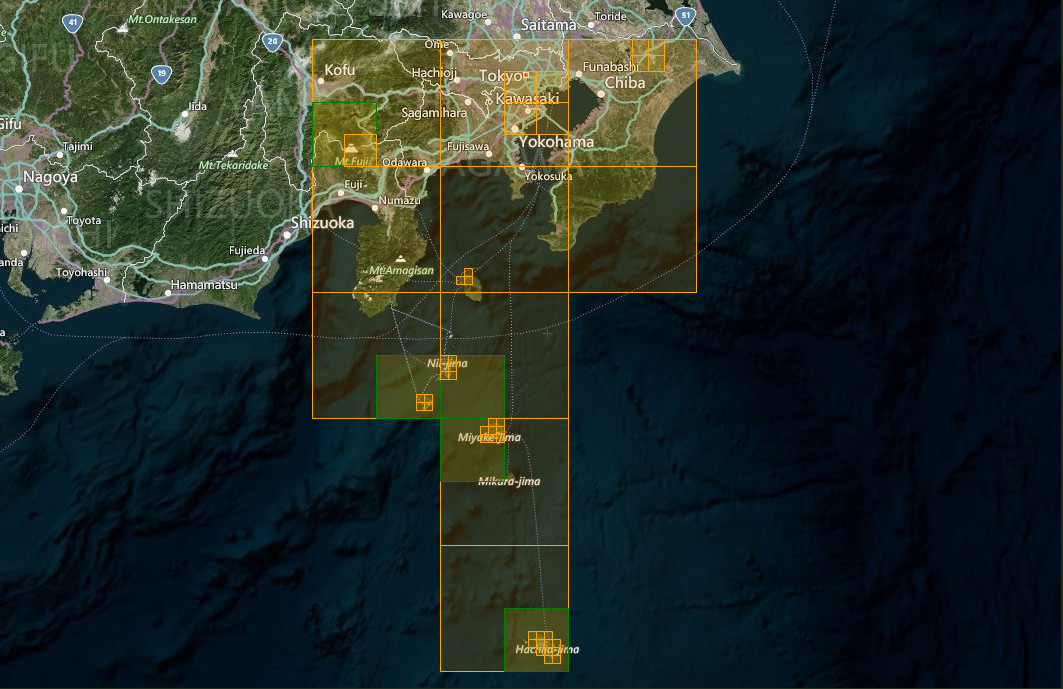
High resolution photo scenery covering enlarged area of Tokyo city in Japan. The scenery includes the famous Mt. Fuji, located in the west of the city, extends to Narita International Airport in the east and features all the islands in the south waiting to be explored.
Some POIs have been added to the city. Also elevation was fixed for the town, Mt. Fuji and southern islands. In addition to IPACS streamed airports, RJTO Oshima airport and RJAN Niijima Airport (runway only) airports are also included.
FS4 Desktop
FSG Mobile
Photo Scenery
Airports
POI's
Elevation
v1.0
Preview Images
Coverage
FS4 Desktop Downloads (zip)
FSG Mobile Downloads (tme)
References
- ArcGIS Maps ©
- OpenTopography - Copernicus Global 30m data ©
- SketchUp 3D Warehouse (3dwarehouse.sketchup.com)
Credits
- nickhod for AeroScenery (creating photo-sceneries)
- Arno Gerretsen for ModelConverterX (converting-tool)
- to all the authors of the models used
- @Pilot boy for RJTO Oshima airport