Aegean Islands Scenery
Description
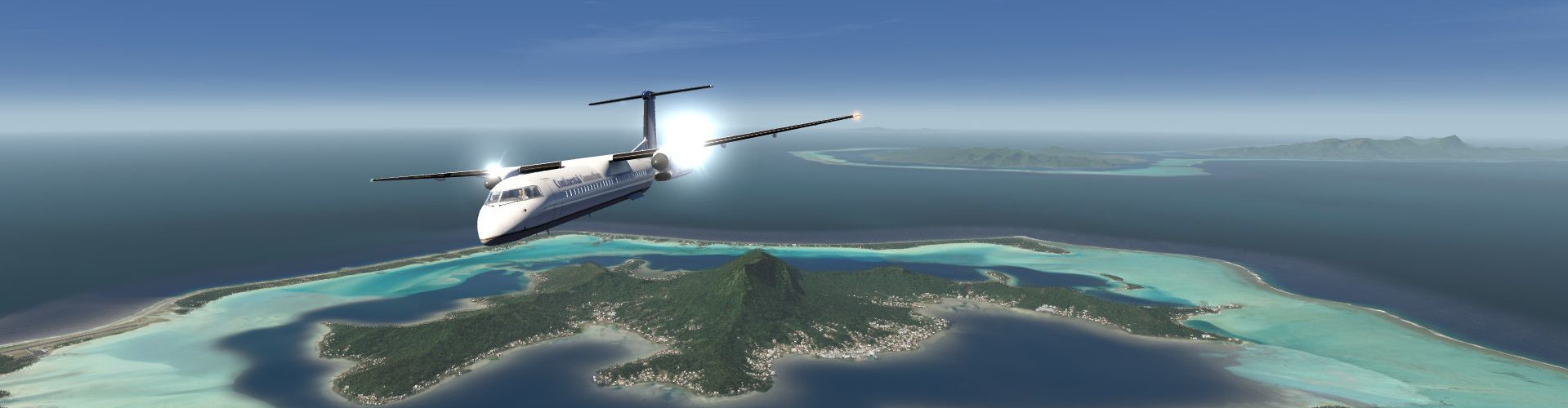
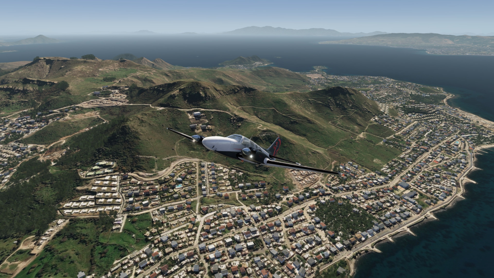
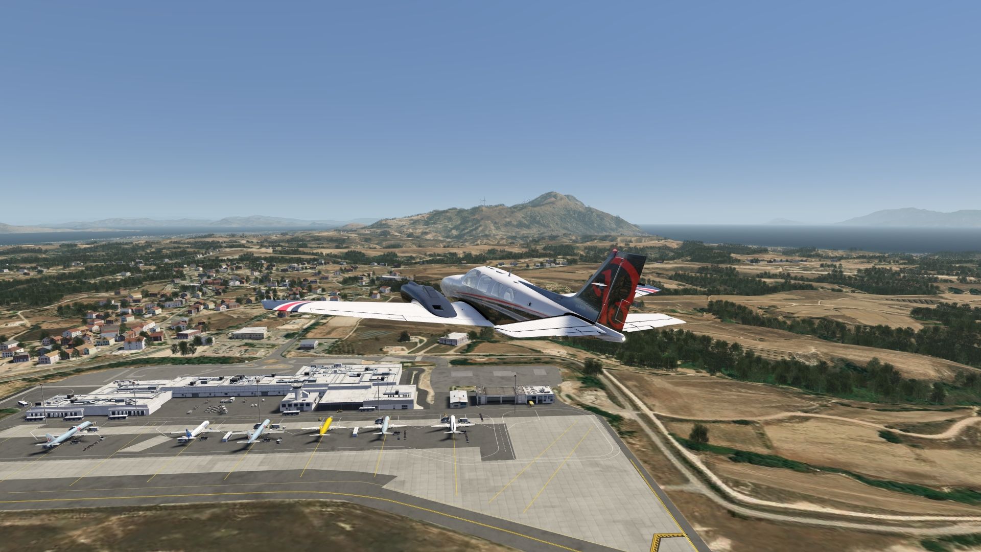
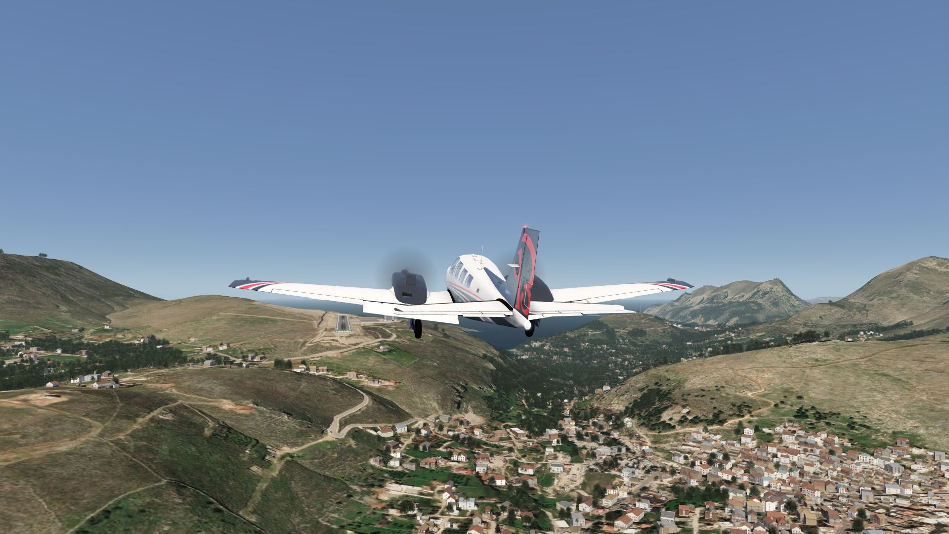
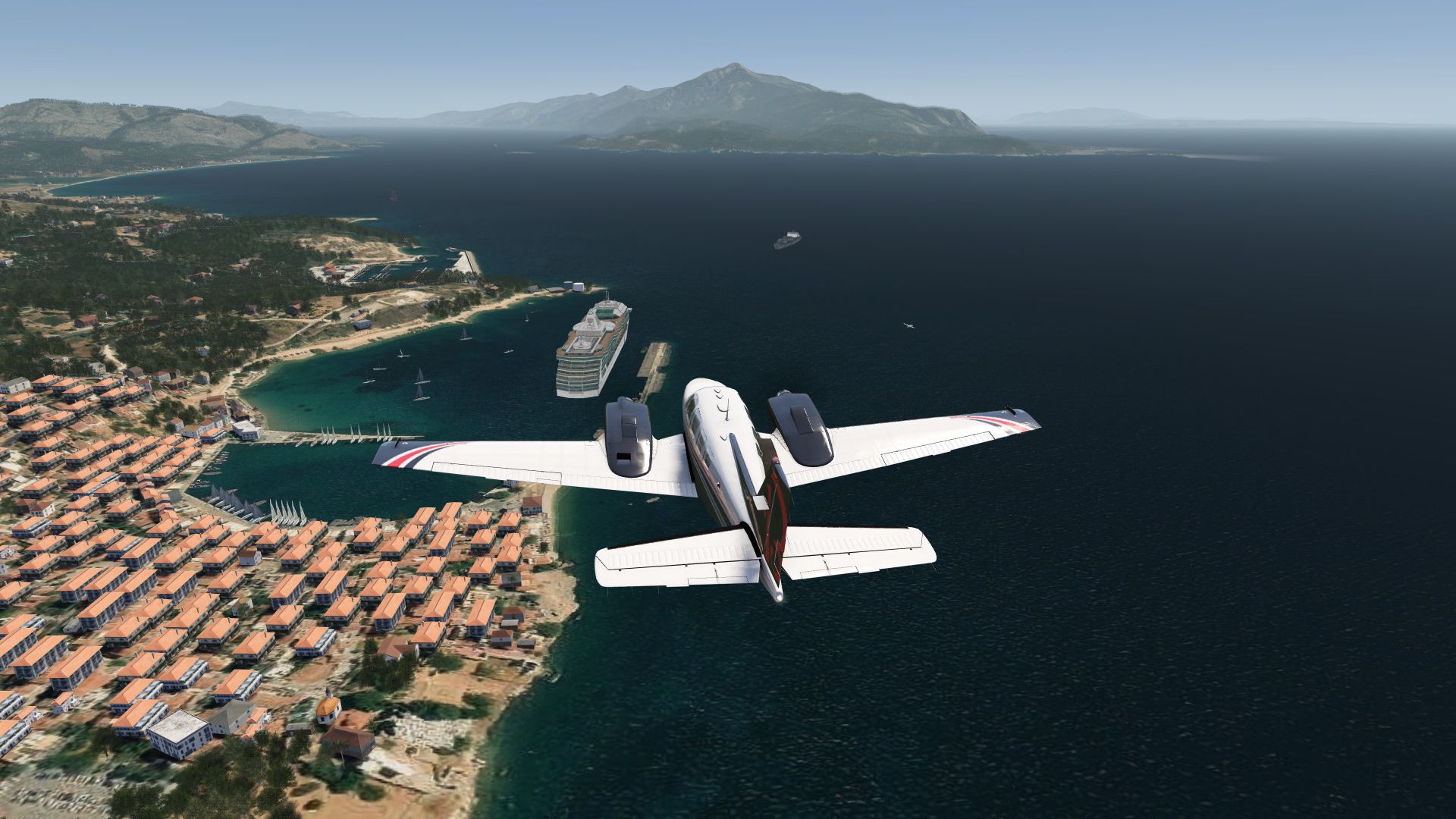
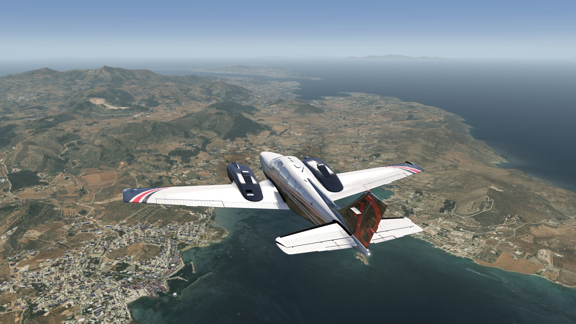
Photo scenery in HD covering all islands of the Greek Aegean Sea with a large coverage. Make a trip to all this sunny islands.
An elevation fix was made especially for some costal and airport areas. The airports LGPL Astypalaia, LGSM Samos and LGPA Paros have been added.
Included Regions
Part 1
- Kos
- Kalymnos
- Leros
- Astypalaia
Part 2
- Samos
- Chios
- Ikaria
Part 3
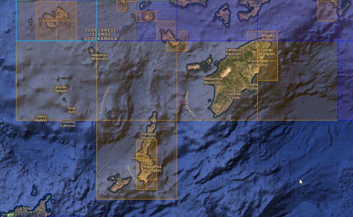
- Rhodes
- Karpathos
Part 4
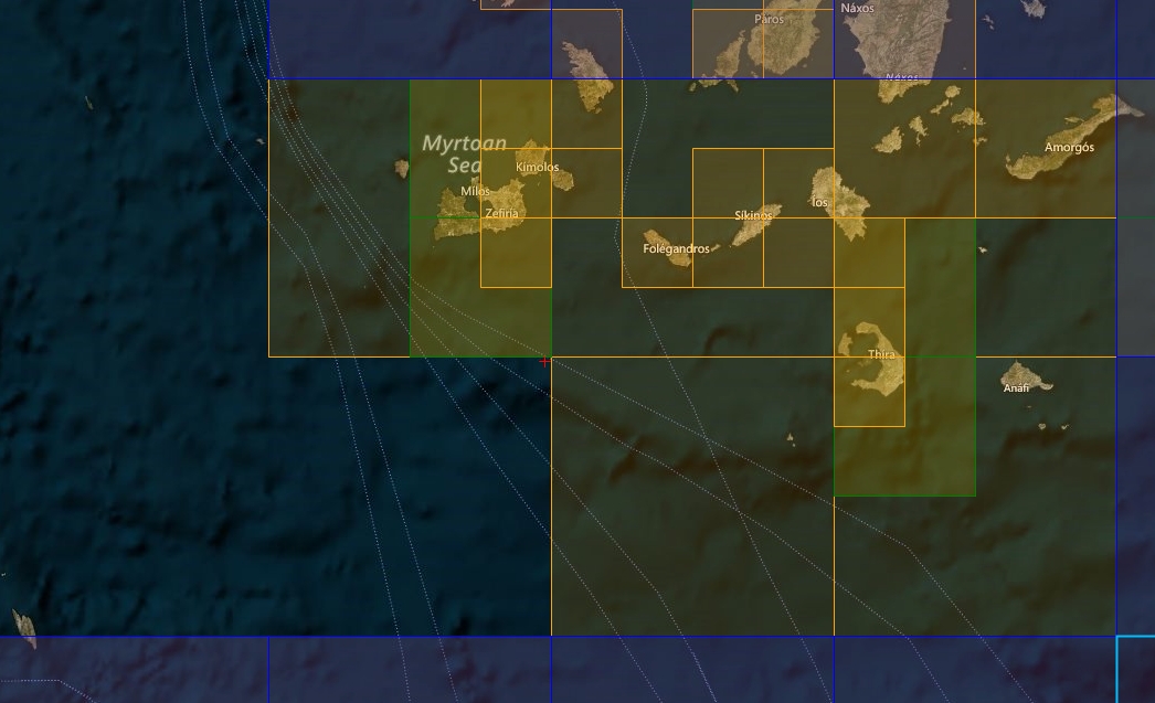
- Santorini
- Milos
Part 5
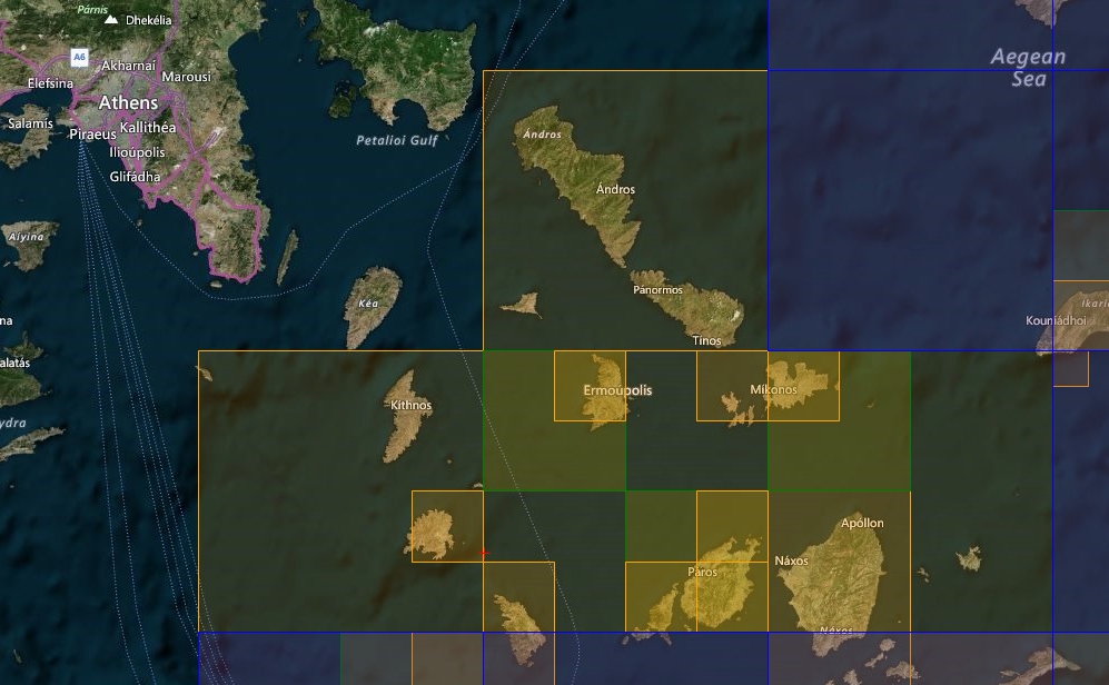
- Mykonos
- Syros
- Naxos
- Paros
Part 6
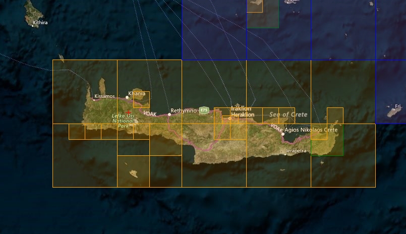
- Crete
Sceneries Included
Former FS2 Samos Airport Scenery from brunnobellic (only for FS4 Desktop)
FS4 Desktop
FSG Mobile
Photo Scenery
Airports
POIs
Elevation
v1.0
Preview Images
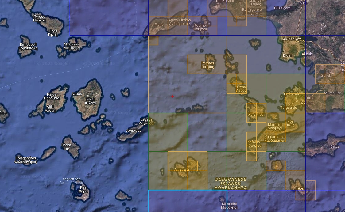
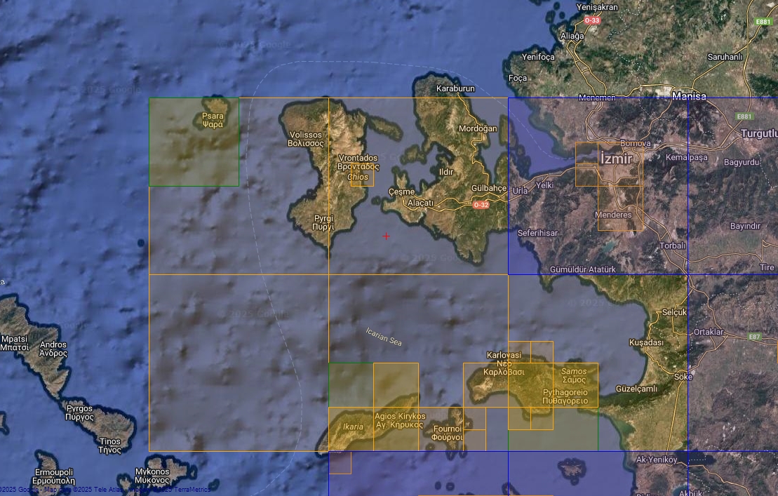
Coverage
FS4 Desktop Downloads (zip)
Download Images - Part 1 (801.4 MB)
Download Images - Part 2 (981.1 MB)
Download Images - Part 3 (1.43 GB)
Download Images - Part 4 (355.8 MB)
Download Images - Part 5 (855.4 MB)
Download Images - Part 6 (1.85 GB)
Download Data FS4 (59.3 MB)
FSG Mobile Downloads (tme)
Download Images - Part 1 (259.5 MB)
Download Images - Part 2 (401.5 MB)
Download Images - Part 3 (400 MB)
Download Images - Part 4 (205.4 MB)
Download Images - Part 5 (290.1 MB)
Download Images - Part 6 (1.68 GB)
Download Data FSG (21.6 MB)
References
- ArcGIS Maps ©
- OpenTopography - Copernicus Global 30m data ©
- SketchUp 3D Warehouse (3dwarehouse.sketchup.com)
Credits
- nickhod for AeroScenery (creating photo-sceneries)
- Arno Gerretsen for ModelConverterX (converting-tool)
- brunnobellic for his initial Samos FS2 Scenery
- to all the authors of the models used